HiDef
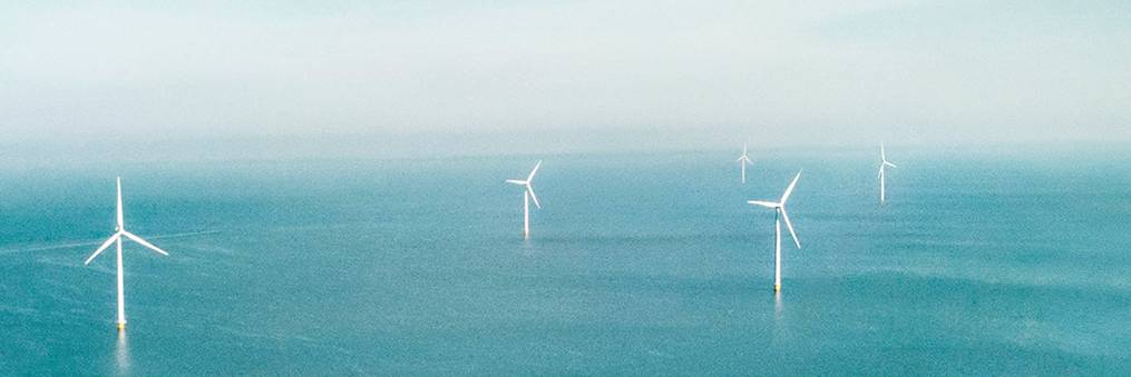
HiDef Aerial Surveying is partnering up with Ecowende to deliver both traditional digital aerial surveys and their first deployment of a newly acquired drone system for high-resolution wildlife monitoring.
This collaboration marks a significant step forward in combining innovation with ecological responsibility in offshore energy development.

Offshore surveys
HiDef’s high-resolution digital video system is specifically designed to detect birds, marine 'fauna and anthropogenic activity offshore and has been used extensively in support of the offshore wind and conservation industries.
The system uses four high-resolution video cameras, recording at a frame rate of over eight images per second, across a transect (a ‘strip’ of land or sea) of 500m width. All surveys are conducted at 550m altitude, which ensures that our aircraft do not flush sensitive species and gives and accurate account of the marine animals using an area. Compared to other methods, HiDef’s digital aerial surveys provide a counting method with improved objectivity and reduced risk.
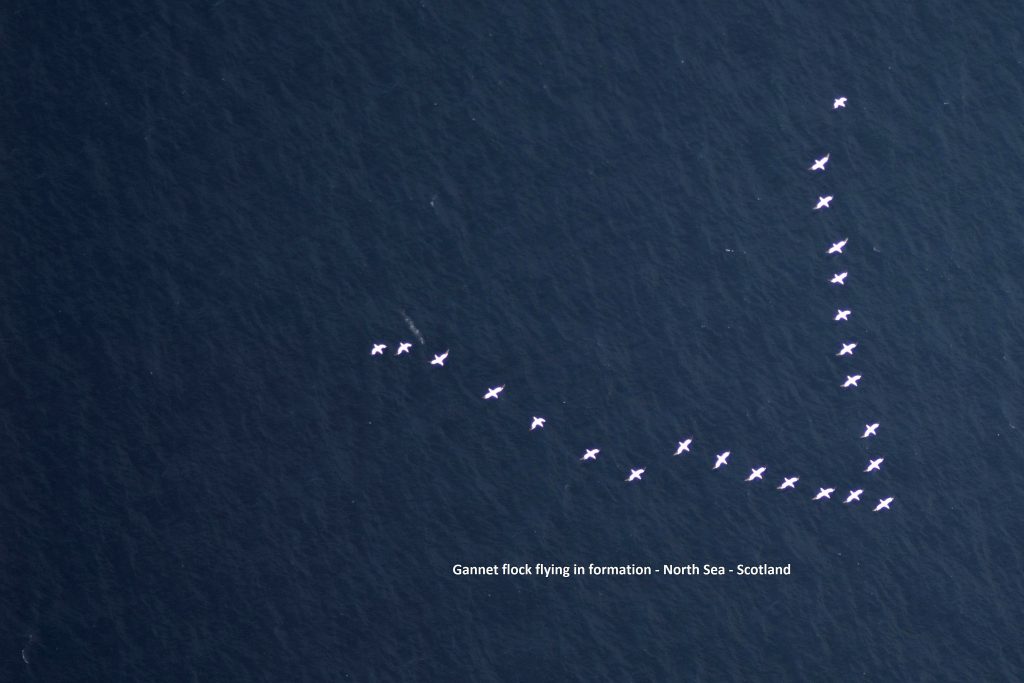
HiDef’s GEN II rig makes it possible to conduct surveys with a ground sample distance (GSD – the size of each pixel) between 3cm to 0.5cm, with the 0.5cm capability providing unrivalled image quality. HiDef chooses to conduct the majority of our offshore surveys at a resolution of 2cm GSD, which allows them to achieve an identification rate in excess of 90% to species level
Powerful partnership
Working alongside their sister companies BioConsult and Biotope, HiDef Aerial Surveying are bringing together a powerful partnership of expertise in data, technology, and environmental insight. Together with Ecowende, they are helping shape the future of nature-inclusive wind energy in the Netherlands and beyond.
© Images and text in cooperation with HiDef.
innovations